Dreaming of a cottage, small farmette, or creekfront retreat near Urbanna? Buying land here is exciting, but the details matter. Between Chesapeake Bay rules, septic feasibility, flood zones, and shoreline permits, the right prep can save you time and money. This guide walks you through the exact checks to confirm buildability, set realistic timelines, and make a smart offer in Middlesex County. Let’s dive in.
Two early checks to confirm
Before you fall in love with a view, confirm two items that often make or break a deal.
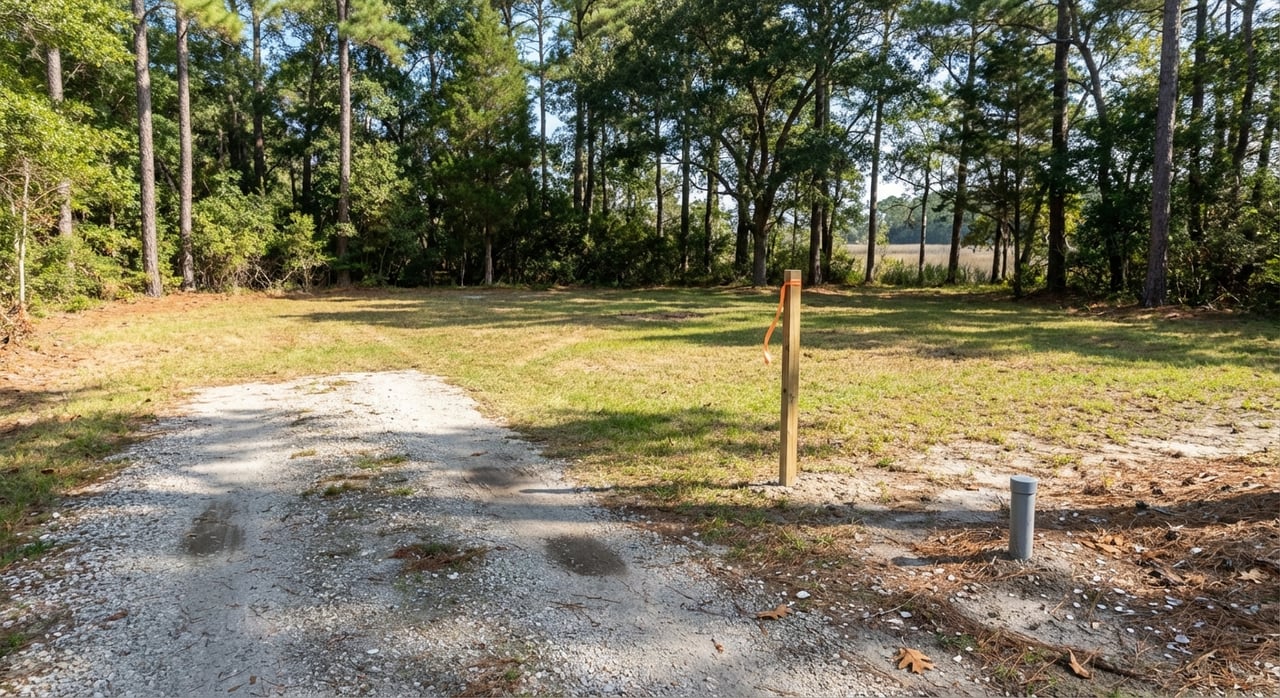
1) Map the RPA and buildable area. Use the county’s interactive GIS viewer to see if the parcel lies in a Chesapeake Bay Preservation Area and how much of it falls within the 100‑foot RPA buffer. The CBP overlay limits clearing, development, and septic placement. If much of the lot is inside the RPA, you must prove a buildable area outside it or meet narrow exception rules outlined in the zoning ordinance. Start with the Middlesex GIS viewer and confirm requirements in the county’s Zoning Ordinance and CBP overlay.
2) Get a VDH site and soil evaluation. Soils across the Coastal Plain can have high water tables or other limits. A licensed evaluator or engineer will determine if a conventional system works or if you need an Alternative On‑Site Sewage System, which carries design, operation, and maintenance rules under VDH. Learn how AOSS rules and permits work from VDH’s onsite sewage program updates.
Zoning basics near Urbanna
Middlesex uses several zoning districts, including Agricultural, Low Density Rural, Resource Husbandry, Conservation, and special waterfront districts. Each district controls permitted uses, minimum lot size, and setbacks for homes and accessory buildings. Waterfront parcels can have extra layers through the CBP overlay. For any parcel you like, check the district and the overlay rules in the Zoning Ordinance to understand what is allowed by right and what needs special review.
Septic, wells, and water
All new septic systems require a VDH construction permit supported by a licensed onsite soil evaluator or professional engineer. The typical sequence is straightforward: evaluate soils on site, confirm conventional vs. AOSS, design the system, then submit for permit and inspections. Expect a site visit before approvals. For questions and local timelines, contact the Three Rivers Health District’s environmental health office via the VDH district page.
Private wells are also permitted through VDH. You will use a licensed driller and coordinate site placement with septic locations. Some neighborhoods have public water or sewer nearby, but many rural parcels do not. Always confirm utility availability with the county before assuming service.
Access, utilities, and broadband
Legal access is not the same as a visible driveway. Ask for the current deed, recorded plats, and any easements. The county GIS and E‑911 viewer is a good early check, but a boundary survey is the gold standard. If your driveway will connect to a state road, a VDOT entrance permit is usually required.
Electric service and broadband vary by road and provider. Some areas are served by cooperatives and others by larger utilities. For public water or sewer availability and local broadband efforts, review the county’s ordinances and utility information and call the county for parcel‑specific confirmation.
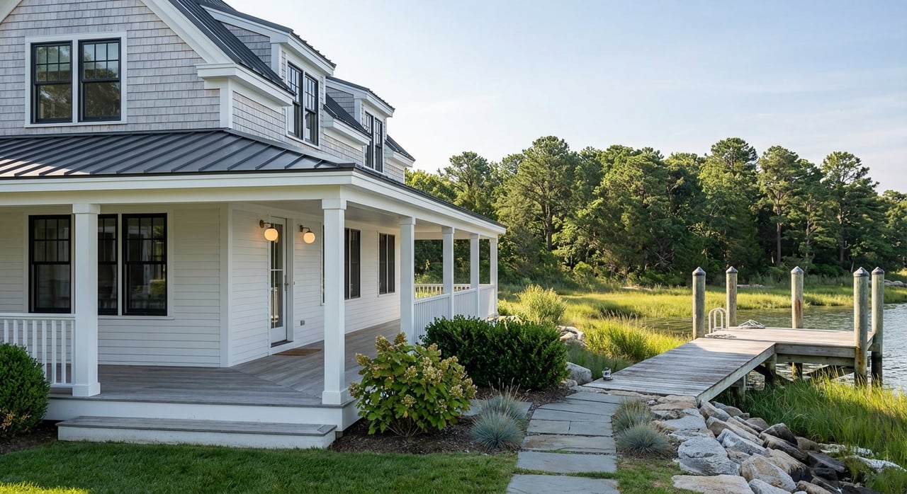
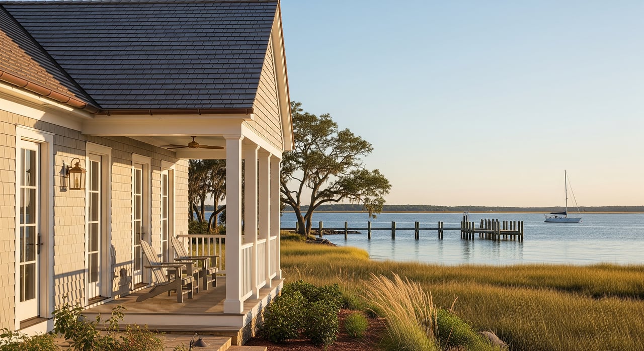
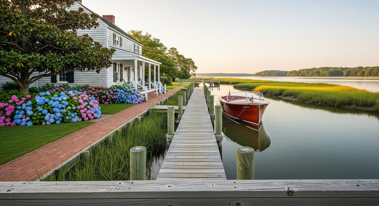
Waterfront lots and shoreline work
If your land touches tidal water or marsh, assume permits will be needed for docks, bulkheads, or shoreline stabilization. In Virginia, the Virginia Marine Resources Commission oversees tidal subaqueous lands, with local wetlands boards handling many permits. Living shorelines are the preferred stabilization approach where feasible. Learn more from the Virginia Marine Resources Commission and this plain‑language homeowner guide to wetlands and permits.
For due diligence, determine if the shoreline is tidal or non‑tidal, where wetlands and buffers lie, and whether a pier is feasible. These factors affect cost and timing.
Flood risk and build costs
Many waterfront and creek‑adjacent parcels near Urbanna fall within FEMA Special Flood Hazard Areas. Middlesex enforces a Floodplain Ordinance that requires permits, elevation certificates, and construction standards like elevated finished floors or flood vents in regulated zones. Start with a parcel‑specific FEMA map check, then ask the county for a floodplain pre‑review. Get the details in the county’s Floodplain Ordinance.
Typical path and timeline
Every site is different, but most land‑to‑home journeys here follow this sequence:
- Preliminary screening, 1–14 days: Use the county GIS for zoning, RPA, flood layers. Call Planning for red flags.
- Boundary survey, 2–6 weeks: Essential for the build envelope and to verify easements and access.
- Soil and septic feasibility, 2–8+ weeks: VDH or a private OSE/PE evaluates the site. AOSS design can add time.
- Well permit and drilling, 2–12 weeks: VDH permit and a licensed driller, scheduled by availability.
- Plan of Development review, several weeks to months: Required when CBP/RPA, wetlands, or larger disturbance applies.
- Shoreline permits, timeline varies: Simple living shorelines can be faster. Contested tidal wetlands projects may take months and may require hearings.
- Building permit and construction: Issuance depends on complete plans and outside permits. See the county’s building permit fee schedule. A typical modest build often takes 6–12 months once construction starts.
Common delays include failed septic feasibility, shoreline and RPA mitigation requirements, long utility extensions, driveway entrance approvals, and incomplete submissions. Build in contingency time and budget.
Mini case examples
- Elevated in‑town lot: A small parcel near Urbanna with an identified septic site and limited RPA impact can move faster. You still confirm zoning setbacks, driveway entrance, and any neighborhood covenants.
- Creekfront homesite: Expect RPA buffers, tidal wetlands, floodplain standards, and potential VMRC and local wetlands board permits for a pier or shoreline stabilization. Design choices and permit timing can affect your construction start.
- Larger rural tract: Great for privacy or a small farmette. Plan for multiple soil test locations, access verification, utility extension costs, and possible environmental review in sensitive areas.
Smart offer strategy
Protect your investment with clear, written contingencies:
- VDH site and soil evaluation contingency for septic feasibility.
- County confirmation of zoning, RPA mapping, and any Plan of Development needs using the Zoning Ordinance and GIS viewer.
- Flood zone verification under the Floodplain Ordinance and any required elevation data.
- Recorded access and boundary survey review.
- Utility availability check for power, water, and broadband via county ordinances and utility information.
- Waterfront permit feasibility check with the VMRC and local wetlands board if you plan a pier or shoreline work.
Local contacts to call
- Middlesex County Planning & Community Development: zoning, CBP/RPA, floodplain, and site plan guidance. Phone: (804) 758‑3382.
- Middlesex County GIS / E‑911: parcel maps, RPA and flood layers, and recorded easements.
- VDH, Three Rivers Health District (Environmental Health): septic and well permits. See the district page.
- Virginia Marine Resources Commission and the local wetlands board: shoreline permits and guidance.
Ready to walk through parcels and map a clear path from raw land to a finished home? With local knowledge, relationships, and a calm, step‑by‑step approach, you can build with confidence near Urbanna. Reach out to Diana Wolfson to discuss your goals and receive listings that match your timeline and budget.
FAQs
What is the Chesapeake Bay RPA and why does it matter near Urbanna?
- The Resource Protection Area is a 100‑foot vegetated buffer along tidal shores, wetlands, connected non‑tidal wetlands, and perennial streams that limits clearing, building, and septic locations under the county’s CBP overlay.
How do I check if a lot can support a septic system in Middlesex County?
- Order a VDH site and soil evaluation by a licensed OSE or engineer to determine if a conventional system works or if an AOSS is required, then pursue a VDH construction permit.
Do I need permits to build a pier on Urbanna Creek or the Rappahannock?
- Most tidal projects need a joint permit reviewed by the local wetlands board and the Virginia Marine Resources Commission, with living shorelines favored when appropriate.
How long does it take to go from land purchase to move‑in near Urbanna?
- After due diligence, permits, and shoreline reviews, construction of a modest home often takes 6–12 months once building starts, with site conditions affecting total time.
What floodplain rules apply if the lot is in a FEMA Special Flood Hazard Area?
- Middlesex applies NFIP‑based standards that may require elevation certificates, higher finished floors, flood vents, and floodplain permits before issuing a building permit.